Site position
Port de SollerBoat · Very good (92/100)
- Excellent 95-100
- Very good 90-94
- Acceptable 80-89
- Difficult 70-79
- Not advised 50-69
- Very poor 0-49

Photo: Arno.HoCC BY-SA 3.0
The diving base for the Serra de Tramuntana. The dives along the north-west coast leave from the harbour mouth: Cova del Cap Gros next to the lighthouse and Sa Foradada, four miles out, among UNESCO heritage cliffs.
We email you when the forecast for this dive site falls within your thresholds.
Port de Sóller is the only sheltered bay along a long stretch of the Serra de Tramuntana, which is why it works as the gateway to diving on this whole coast. The bay itself has an easy bottom, and the dives in the area leave from here by boat.
The home site is the Cova del Cap Gros, between the harbour mouth and the lighthouse: you moor over 9-10 m, there is a cave mouth with the classic blue-light effect when you look outwards, and for advanced divers there is a large old anchor, petrified, at around 27 m. Centres describe it as one of the best diving areas in northern Mallorca.
Four miles away is Sa Foradada, the cape with the hole through its upper part: you enter at around 10 m and the route crosses from the south face to the north between boulders where octopuses, moray eels, conger eels and groupers live, with a meadow of Posidonia oceanica alongside.
The usual working range is 5 to 20 m, which makes the area well suited to try dives, courses and new divers, with the option of going deeper at the sites that allow it. Daily trips run from April to October; the rest of the year the weather decides, because this coast is wide open to the north.
Dive with boat entry at Port de Sóller, designed for Open Water divers with group control, reading of the local current and a route adapted to sea conditions.
Port de Sóller is part of the usual diving routes in Mallorca. The page combines scenic value, local marine life and the recurring operations of centres and clubs in the Balearics.
Boat entry with a briefing on anchoring, current, descent line and pick-up protocol.
Gradual descent, main route over rock and Posidonia seagrass, turn at half tank and return along the shallow contour for added safety.
Mediterranean rock, patches of Posidonia seagrass and sandy clearings depending on the chosen route.
Level Open Water / visibility 15-25 m

Photo: Arno.HoCC BY-SA 3.0
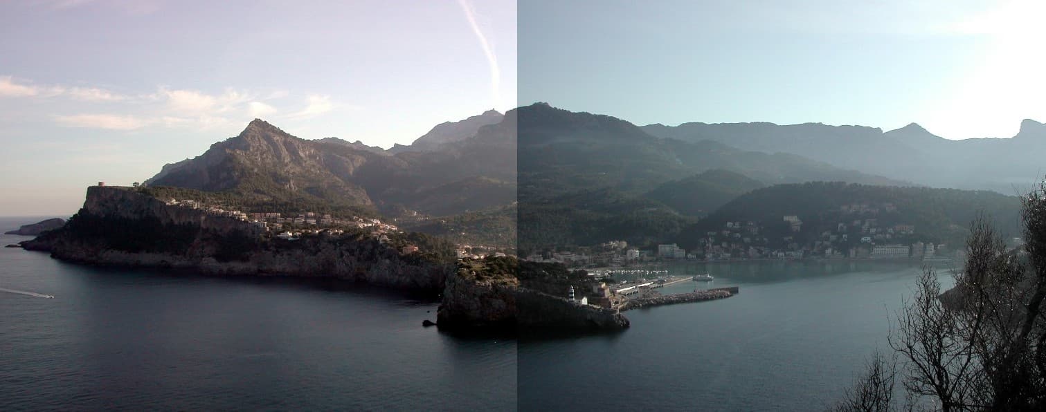
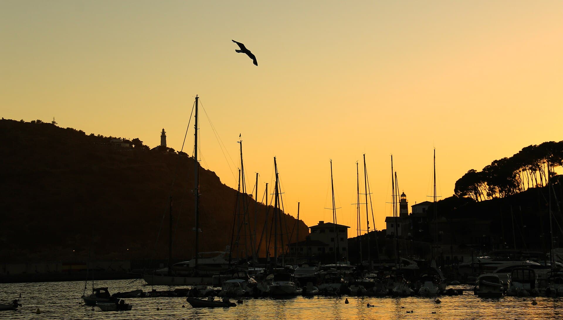
Photo: Amber SunCC BY-SA 2.0
Photo: AntekbojarCC0
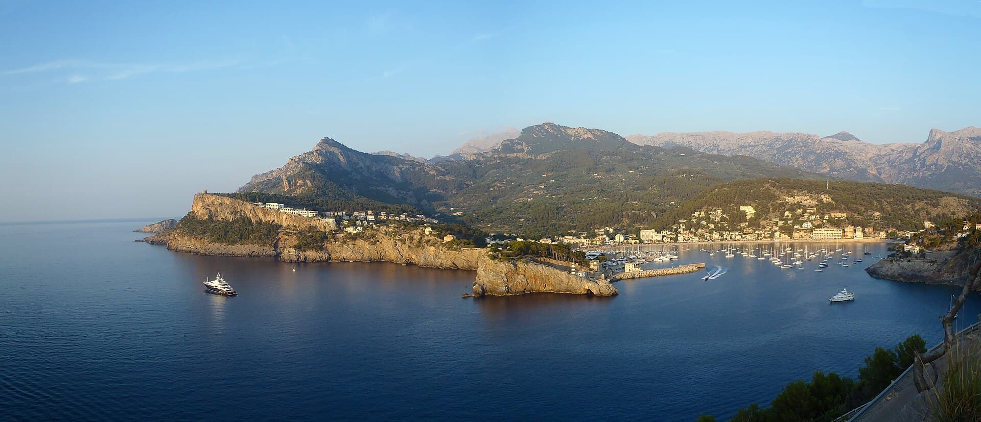
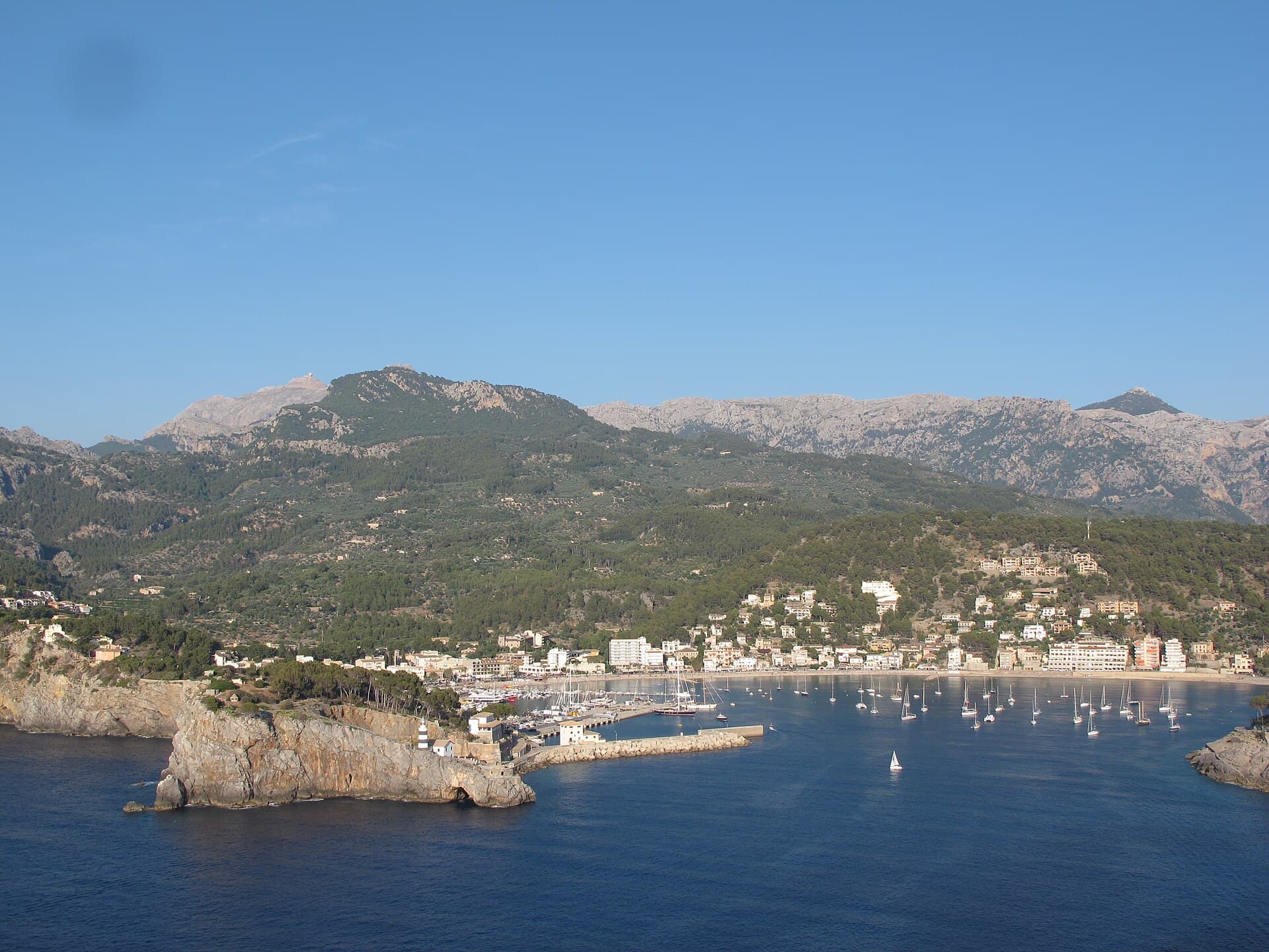
Photo: Ce Ele 415CC BY-SA 4.0
Share your best shots to help other divers understand the site before booking.
Only your own images of the dive site. Allowed formats: JPG, PNG or WEBP. We review it before publishing.
If you are not signed in, we will ask you to log in before publishing.
Loading community photos…
No trips have been published for this dive site yet.
Weather is indicative, not a substitute for the briefing · Public reference coordinates