Site position
CabreraMarine reserve · Acceptable (89/100)
- Excellent 95-100
- Very good 90-94
- Acceptable 80-89
- Difficult 70-79
- Not advised 50-69
- Very poor 0-49

Photo: AsurnipalCC BY-SA 4.0
A national park since 1991 and one of the best preserved seabeds on the Spanish coast. Only two dive boats a day are allowed, and only two sites: Cap de Llebeig and Cala Galiota. You go with an authorised centre.
We email you when the forecast for this dive site falls within your thresholds.
The Cabrera archipelago has been a maritime and terrestrial national park since 1991, and what it protects is exactly what people come to see: a group of limestone islands with seabird colonies, endemic species and some of the best preserved seabeds on the whole Spanish coast.
Diving here is not like diving anywhere else in Mallorca, and it is worth knowing that before you book. The park limits diving to two boats a day across the entire archipelago, and to two authorised sites only: Cap de Llebeig and Cala Galiota, a small cove a little beyond the cape. Depths stay within the recreational range, around 30 m at most.
In return for those restrictions, the bottom delivers. Decades without fishing pressure show in the size and the boldness of the fish, with large groupers, dense shoals and Posidonia seagrass meadows in excellent condition over rock and pale sand. Visibility is usually among the best in the Balearics.
It is a full-day trip from Colònia de Sant Jordi or from Palma: a long crossing, two dives and a stop ashore. It is always run by a centre with a park permit, which is who arranges the quota; you cannot turn up in a private boat and simply start diving.
Dive with boat entry at Cabrera, designed for Advanced divers with group control, reading of the local current and a route adapted to sea conditions.
Cabrera is part of the usual diving routes in Mallorca. The page combines scenic value, local marine life and the recurring operations of centres and clubs in the Balearics.
Boat entry with a briefing on anchoring, current, descent line and pick-up protocol.
Descent along the main reference, brief deep section, progress along the wall or drop-off, conservative turn and gradual return to the shallow zone.
Mediterranean rock, patches of Posidonia seagrass and sandy clearings depending on the chosen route.
Level Advanced / visibility 20-35 m
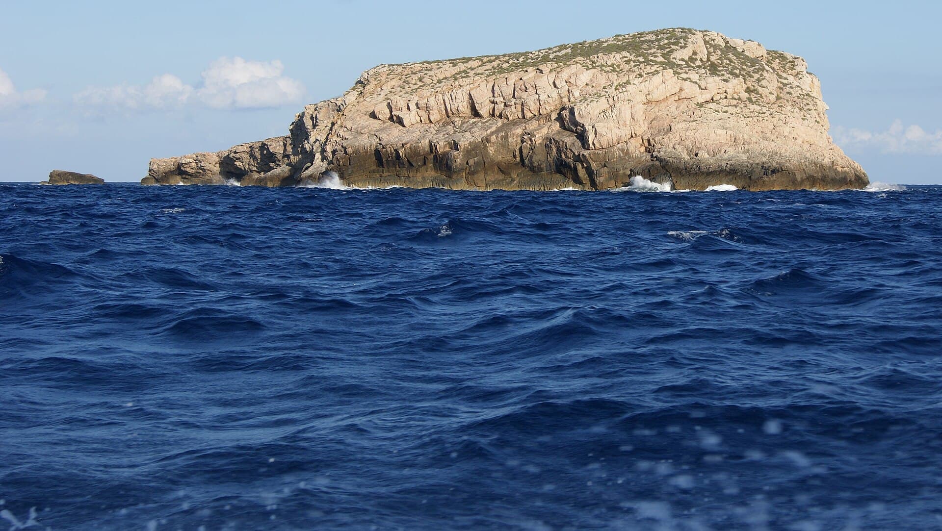
Photo: AsurnipalCC BY-SA 4.0
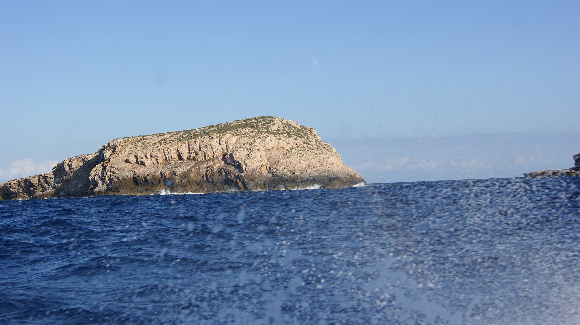
Photo: AsurnipalCC BY-SA 4.0
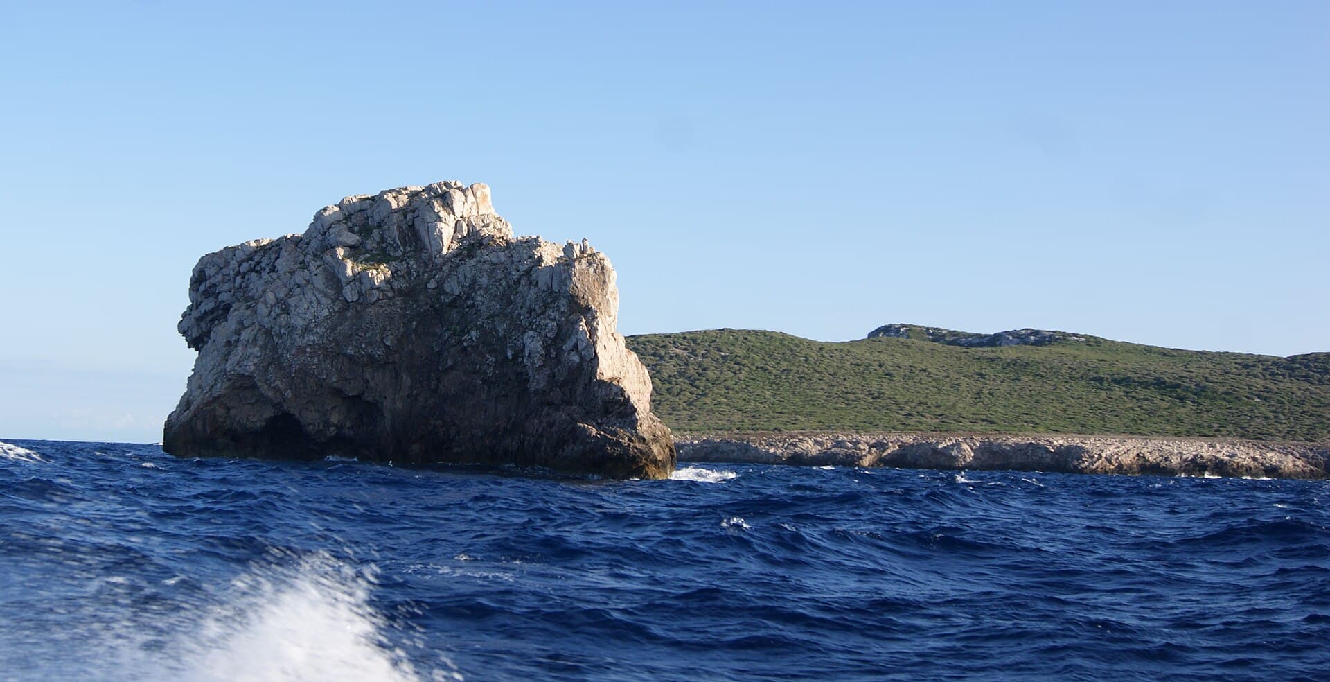
Photo: AsurnipalCC BY-SA 4.0

Photo: Olaf TauschCC BY 3.0
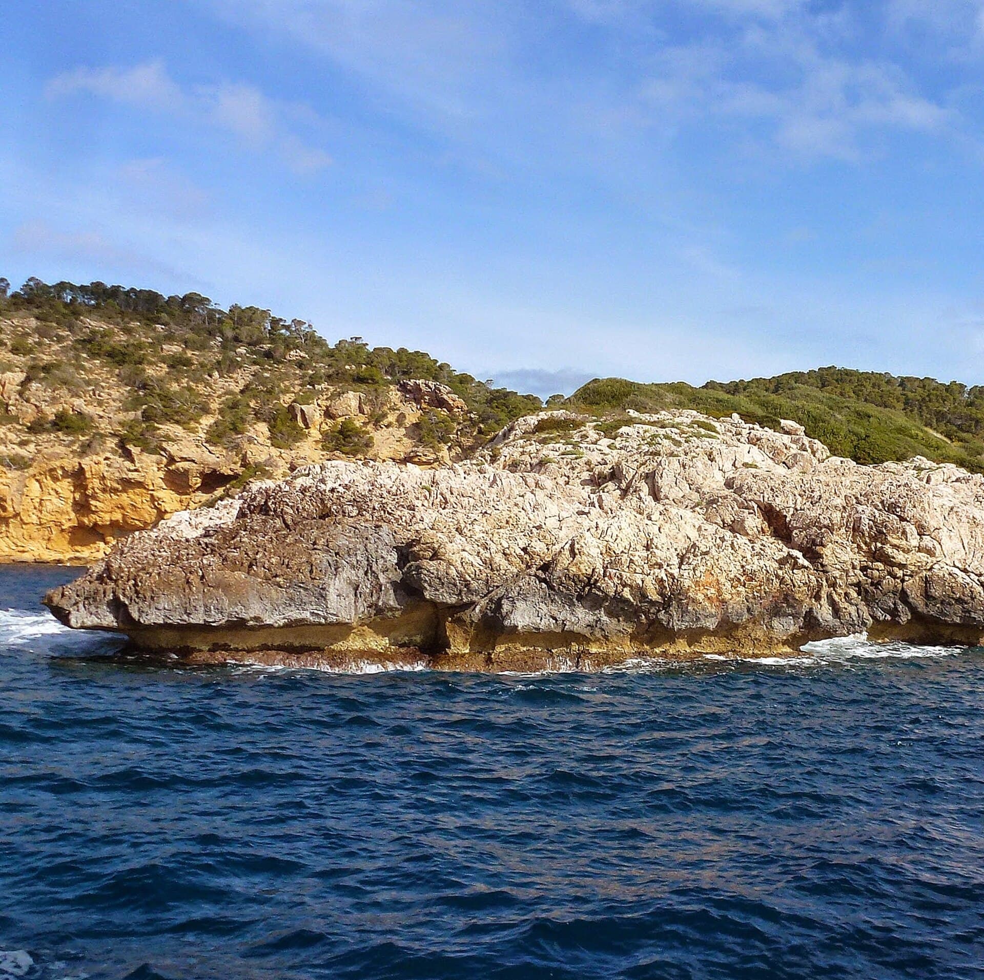
Photo: Maximovich NikolayCC BY 3.0
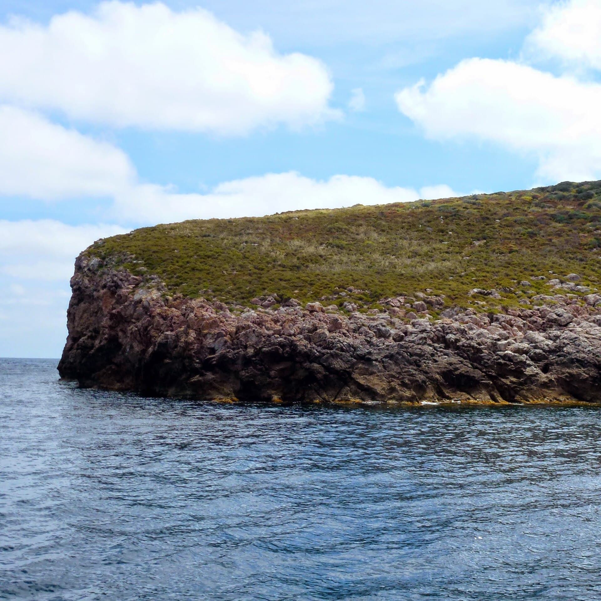
Photo: Николай МаксимовичCC BY 3.0
Share your best shots to help other divers understand the site before booking.
Only your own images of the dive site. Allowed formats: JPG, PNG or WEBP. We review it before publishing.
If you are not signed in, we will ask you to log in before publishing.
Loading community photos…
No trips have been published for this dive site yet.
Weather is indicative, not a substitute for the briefing · Public reference coordinates